Historical Maps of Addiscombe
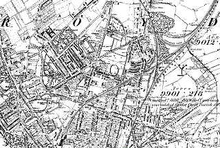
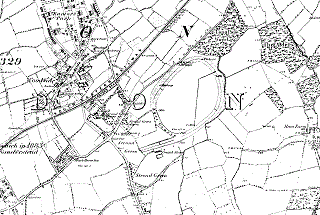
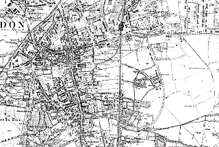
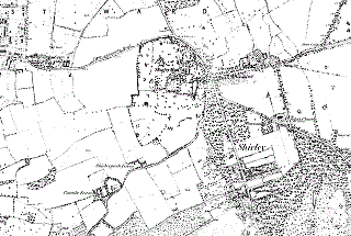
Historical Addiscombe from 1883 is almost unrecognisable compared with the present day Addiscombe.
The Ordnance Survey has four local maps of this era. Many of the main roads existed then, but Addiscombe was little more than a public house, set in farm land and brickworks excavated fields.
Click on a map to view it in more detail.
North West Addiscombe
North East Addiscombe
South West Addiscombe
North West Addiscombe
Other maps


